Editor’s Note: Local historian David Clapsaddle writes about aspects on the Santa Fe Trail. This series profiles how Santa Fe Trail freight, passengers and mail shifted from the overland trail to railways.
By DAVID K. CLAPSADDLE
Unlike the Fort Riley-Fort Larned Road, the route to Fort Dodge did not have any stage stations, nor was there any threat of Indian attack.
However, as Lt. Col. John W. Davidson, inspector general for the Department of the Missouri, itinerary stated, the Fort Hays-Fort Dodge Road crossed seven separate streams.
Ten miles southwest of Fort Hays, the road reached the Smoky Hill River.
Here, according to Colonel Davidson, was a “good crossing” as compared with the steep banks of other streams along the road.
Big Timers Creek, eight miles from the Smoky Hill River was characterized by Davidson as having “wood, grass and water in pools never failing.”
However, five years later, Holland noted only a few trees and a single pool.
Walnut Creek, seven miles farther southwest, was the next stop on the road. Davidson noted in his 1867 report: “Very bad crossing, requires a one span bridge.”
At this crossing, in the summer of the following year, General Sheridan stationed a detachment of troopers, dividing a force of 800 men between Walnut Creek and Fort Dodge prior to his winter campaign south into Indian Territory.
When Holland visited the Walnut in 1872, the creek was flowing twenty feet deep, three feet over the corduroy bridge.
Leaving Walnut Creek, the road passed southwest through Rush County and clipped the extreme northwest corner of Pawnee County before continuing into Ness County.
In this three-county corner, much of the land remains uncultivated. Hence, wagon ruts can be found at four separate sites in a three-mile radius of this tri-county location.
From Ness County, the road proceeded southwest through Hodgeman County to the Pawnee Fork.
This stream was identified as the north branch of the Pawnee River by I. Carl Woodruff, a topographical engineer who visited the area in 1852. Woodruff named the north branch Heth in honor of Lieutenant Colonel Heth, then stationed at Fort Atkinson.
Davidson’s 1867 report noted that “here was … a very bad crossing, requires a bridge, probably two spans.”
Thirteen miles from the Pawnee, the road reached the stream identified by Woodruff in 1852 as the middle branch of the Pawnee and named Buckner in honor of Capt. Simon Buckner, then stationed at Fort Atkinson.
As at the two previous crossings, Davidson noted the need for a bridge on the Buckner.
Sawlog Creek, located thirteen miles from Buckner Creek, was originally identified as the south branch of the Pawnee and named Schaff’s Branch by Woodruff in honor of Lt. John Schaff, then stationed at Fort Atkinson.
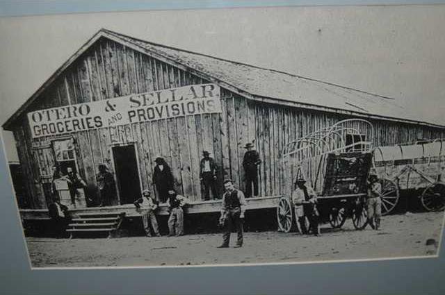
The creek’s name was later changed to Sawlog because of the vast amount of timber which lined its banks and furnished Forts Mann, Atkinson, and Dodge with wood for both fuel and construction.
Robert Wright further explained the name change.
“The creeks, when the fort was first started, were all heavily wooded with hackberry, ash, box-elder, cottonwood, and elm,” Wright wrote. “We cut 1,500 cords of wood almost in one body on a little creek six miles north of the fort, all hackberry.
“There were a good many thousand cords cut on the Sawlog, which stream is properly the south fork of the Pawnee, but the soldiers would go out to the old Hays crossing, chop down a big tree, hitch a string of large mules to it, haul it up on the bank near the ford, and after stripping off its top and limbs, leave its huge trunk there.
In consequence thousands of immense logs accumulated, making the place look as if a sawmill had been established; and these great trunks were sawlogs ready to be cut into lumber. The early buffalo-hunters called the creek Sawlog, which name it bears to this day.”
Davidson’s 1867 itinerary speaks of the crossing as a “fair crossing.” Corduroyed. Evidently the army or stage company had installed a low water bridge at this point.
Fort Dodge, the terminus of the road, was situated 12 miles southwest of the Sawlog.
None of the quartermaster’s buildings remain which housed the supplies delivered down the road from Fort Hays.
However, a number of original buildings remain at the fort which was deactivated in 1882.
Those structures include two barracks which appear to be a single building, having been joined sometime after the post became the Kansas Soldier’s Home in 1890. Also in good repair are the commanding officer’s quarters, the hospital and a commissary building.
While the Fort Hays-Fort Dodge Road continued to be traveled by both the Army and civilian traffic for some time, its connection with the Santa Fe Trail ceased as the UP moved west from Hays City to the newly established town of Phil Sheridan in the summer of 1868.
The Southern Overland Mall and Express Company relocated its terminus in anticipation of the railroad’s June arrival.
The following month the stage line moved its headquarters to Pond Creek Station, a Butterfield Overland Dispatch stop established in 1865, 14 miles to the southwest. This was near Fort Wallace.
The Southern Overland initially projected a road running from Pond Creek Station by way of Cheyenne Wells to Bent’s Fort, and Dick Wootton laid out a road along the proposed route. This road was never developed, however, and a second route was plotted from Pond Creek Station through Cheyenne Wells to Fort Lyon, Colo.
Having no official name, the road to Fort Lyon was known by several designations.
Captain W. H. Penrose, commanding officer at Fort Lyon, referred to the road as the stage route to Cheyenne Wells.
Luke Cahill, a state company employee and former first sergeant in the Fifth Infantry at Fort Lyon, called the road “the trail between Lyon and Wallace.”
At a later date, the road was commonly known as the Fort Wallace-Fort Lyon Road. Whatever the name, this road eliminated another significant section of the Santa Fe Trail, the stretch running westward from Fort Dodge to Fort Lyon.
(To Be Continued)
Fort Hays-Fort Dodge Road crosses several rivers
Santa Fe Trails to Rails