By David K. Clapsaddle
Santa Fe Trail Association Ambassador David K. Clapsaddle is president of the Wet/Dry Routes Chapter and a frequent contributor to Wagon Tracks. This article emphasizes the fact that the SFTA has a mission to preserve, protect, and promote the entire Santa Fe Trail network, not just the portion that was included in the Santa Fe National Historic Trail, which is approximately one-half of the network.
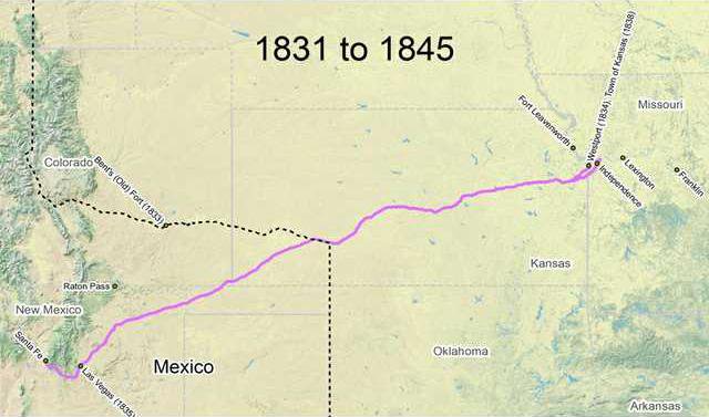
Most maps of the Santa Fe Trail depict the trade route as a single artery running from Missouri southwest to New Mexico. Such cartography belies the many variants of what Thomas Hart Benton called a highway between nations.
There are several points at which an intersection developed, spawning numerous variants of the trail, sometimes operating at different periods, at other times simultaneously.
One such place was present Larned, where the trail evolved into five separate routes — the Wet Route, three variants of the Dry Route, and the route which ran from Fort Larned to strike the Wet Route near the Coon Creek crossing of the Wet Route.
THE LEAVENWORTH ROADS
Perhaps more profound are the roads which ran from Fort Leavenworth. Crossing the Kansas River at three different locations, they proceeded on to merge with the established route of the Santa Fe Trail at three separate junctions.
The first of the three ran from Fort Leavenworth to Round Grove, later called Lone Elm.
The first expedition to use this road was that of Captain William Wickiiffe in May 1833. Reaching Round Prairie, another name for Round Grove, on May 23, Wickliffe’s Sixth Infantry escort continued on to Council Grove where it rendezvoused with the annual spring caravan from Independence.
Two years later at the conclusion, a 1,645-mile expedition to the Rocky Mountains, Colonel Henry Dodge his First Dragoons passed Round Grove before turning north to trace Wickliffe’s course to Grinter’s crossing and back to their point of origin at Fort Leavenworth.
In 1837, the route used by Wickliffe and Dodge was greatly enhanced by the establishment of the Fort Leavenworth-Fort Gibson Military Road.
Surveyed by a party under the command of Colonel Stephen W. Kearny, the military road replicated the course followed by Wickliffe for its first 29 miles before veering southeast to follow the border of western Missouri to the site later occupied by New Santa Fe and then southward to Fort Gibson.
Such was the route taken by Captain Philip St. George Cooke and his First Dragoons in their celebrated escort of an American and Mexican caravan in 1843.
Leaving the military road south of the Kansas River, Cooke’s command continued southward to strike the Santa Fe Trail a little east of Lone Elm on May 30 and thence proceeded on to rendezvous with the traders at Council Grove.
Subsequently, the road experienced heavy traffic, both troop movement and freight shipments, during the first two years of the Mexican War. The length of the road was calculated by Private Ben Wiley at 50 miles. Brevet Major Henry L. Kendick’s measurement by diameter was 44 miles.
The second road emanating from Fort Leavenworth was first used by Brevet Major Bennet Rilley on his return trip from the first military escort on the Santa Fe Trail in 1829.
At some point east of 110 Mile Creek, probably about 35 miles, Riley’s men left the Santa Fe Trail, marched northeast to the Kansas River, and continued on to what was at that time called Cantonment Leavenworth.
A similar route was pursued by Colonel Kearny on his return trip from the Rocky Mountains by way of the Santa Fe Trail in 1845.
Departing the Santa Fe Trail near Willow Spring, the troops crossed the Kansas River at Fish’s Ferry near present Eudora and pushed on to Fort Leavenworth.
In the following year, at the outbreak of the Mexican War, the route used by Kearny saw extensive use by both military and civilian traffic.
The third road from Leavenworth, established in 1850, ran. west from Fort Leavenworth to present proceeded on to strike the established route of the Santa Fe Trail at Soldier Creek.
Percival G. Lowe put the distance between Fort Leavenworth and the Soldier Creek at 86 miles.
The road was heavily utilized in 1851 when Brevet Colonel Edwin V. Sumner and the First Dragoons led a
sizable expeditionary force to establish Fort Union in northern New Mexico.
ARKANSAS-
CIMARRON ROUTES
There were at least two popular routes between the Arkansas and Cimarron Rivers, which were used from
the mid-1820s onward.
Several articles in Wagon Tracks have discussed these better-known routes. One crossed the Arkansas west of present Dodge City, at various points commonly called the Cimarron Crossing and sometimes the Middle Crossing. and, angled southwest approximately 60 miles from present Ingalls to what becamel known as Wagonbed Spring south of present Ulysses.
It was also known as the Cimarron Desert, or “Jornada del Muerto,” because of the frequent lack of surface water. The other, usually called Upper Crossing, crossed the Arkansas west of present Lakin, proceeded south through Bear Creek pass about 40 miles to join the other route at Wagonbed Spring.
There were occasional variations on these two routes.
Santa Fe Trail develops alternate routes