
The official start of spring is still a couple weeks away, but it is not too soon to prepare for the potential bad weather that comes with the season, Barton County Emergency Manager Amy Miller told the County Commission Monday morning before they approved a proclamation marking this as Severe Weather Awareness Week.
“Severe Weather Awareness Week is a cooperative effort of the National Weather Service and the Kansas Emergency Management Association,” Miller said. “Barton County Emergency Management would like to remind everyone to be prepared for the spring severe weather season.”
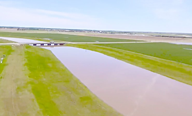
The proclamation encourages citizens to be educated about severe weather and to prepare for a life threatening severe weather event, which means more than tornadoes, Miller said. “Severe spring weather in Kansas includes tornadoes, flooding and flash floods, severe thunderstorms, large hail, lightning, wildfires and drought,” Miller said.
“This is just a good time for everyone to get weather ready,” Miller said. “All Barton County citizens are reminded to stay up to date on weather forecasts, be prepared during a Watch, and be ready to take proper shelter during a warning.”
More preparation
Individuals and families are encouraged to build a go kit – with water, non-perishable food, flashlight, whistle, blanket, medical supplies, and other personal care items for every family member, including their pets – and all Barton County residents are encouraged to have an family emergency plan in place and to practice the plan, so everyone knows what to do, Miller said.
“Everyone should also plan for after the storm by having a home inventory, contact numbers for insurance companies, and a family communications plan,” Miller said. “All citizens, businesses and schools are encouraged to prepare and practice personal safety plans.”
Weather facts
According to the NWS, there were 89 tornadoes in Kansas last year, that is 27 above the 1950-2019 average of 62. There were 16 injuries, but no fatalities.
May was an extremely active month, accounting for 56 of the 89 tornadoes reported in Kansas in 2019, three of which were in Barton County. This remains below the one month record of 127 tornadoes reported in May 2008. Thirteen tornadoes were reported on two separate days, May 5 and May 28.
With the help of a very wet May and August, 2019 become one of the wettest years on record for many across Kansas, tallying over 5 to 6 feet of precipitation, which fell mostly as rain. Annual precipitation anomalies were 20 to 30 inches above normal.
For the second time in the 2018-19 winter season, a blizzard affected much of central Kansas on February 23rd as an intense low pressure system moved northeast across the region. Snowfall rates of 1 to 3 inch per hour combined with winds gusts up to 55 mph winds to create whiteout conditions. Interstate 70 was closed from Salina to the Colorado border for much of the day.
On June 22 and 23, a moist and unstable atmosphere supported three rounds of severe thunderstorms across south central and east-central Kansas from the predawn hours on the 22nd to the morning hours of the 23rd.
The large-scale weather pattern supported well above normal temperatures across much of the central and eastern US during the month of September including Kansas. It was Kansas’ second warmest September on record (since 1895). The number of days exceeding 90°F and 70°F across the region were well above normal for the month, and many daily warm records were set.
In contrast, the weather turned much cooler in October with Kansas recording its seventh coolest October on record. Especially chilly was the last week of the month, when daily average temperatures were as much as 20 to 30 degrees colder than normal, consequently, many daily cold records were set.
Central, south central and south east regional records included the largest hail stone reported was in Barton County at 2.75 inches in diameter, the strongest tornado in Russell County at EF-2 and the strongest wind in Rice County clocked at 100 miles per hour.
State tornado test set for Tuesday morning
The statewide test tornado drill was held. The test was broadcast over National Oceanic and Atmospheric Administration All Hazards Weather Radio and many local television and radio stations. Local officials may also sound their warning sirens.
In addition, the National Weather Service’s Storm Fury on the Plains (an annual training for storm spotters) will take place at 2:30 and 6:30 p.m. Tuesday, March 10, at the Crest Theater in Great Bend.